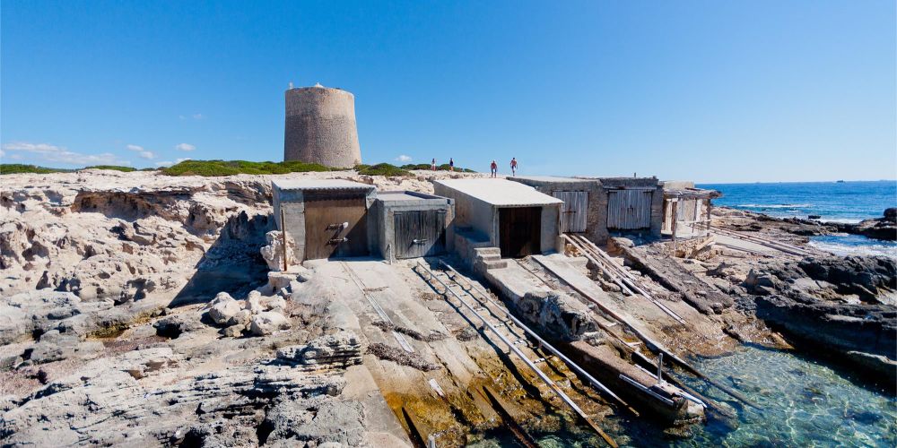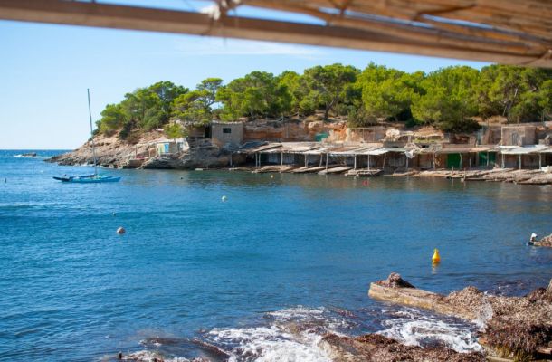
Towards the western side, a few metres away, we can see a cove with fishermen's huts and vestiges of what was once the salt industry. For example, what remains of an old barge, still beached on stone and, further on, another wider ramp from which you can see some rails that plunge into the sea. These were the old shipyards where the salt company repaired and conditioned its barges, the transport used for the salt before the mechanisation of the whole process. The old salt loader, the village of Sa Canal and the salt dock are the industrial nucleus of the area, complemented by other buildings such as silos, administrative buildings and large warehouses. Some of them, by the way, have been converted into imposing exhibition halls, such as the one known as 'La Nave'. Next to it ran the old salt train track that transported the precious merchandise from the ponds.
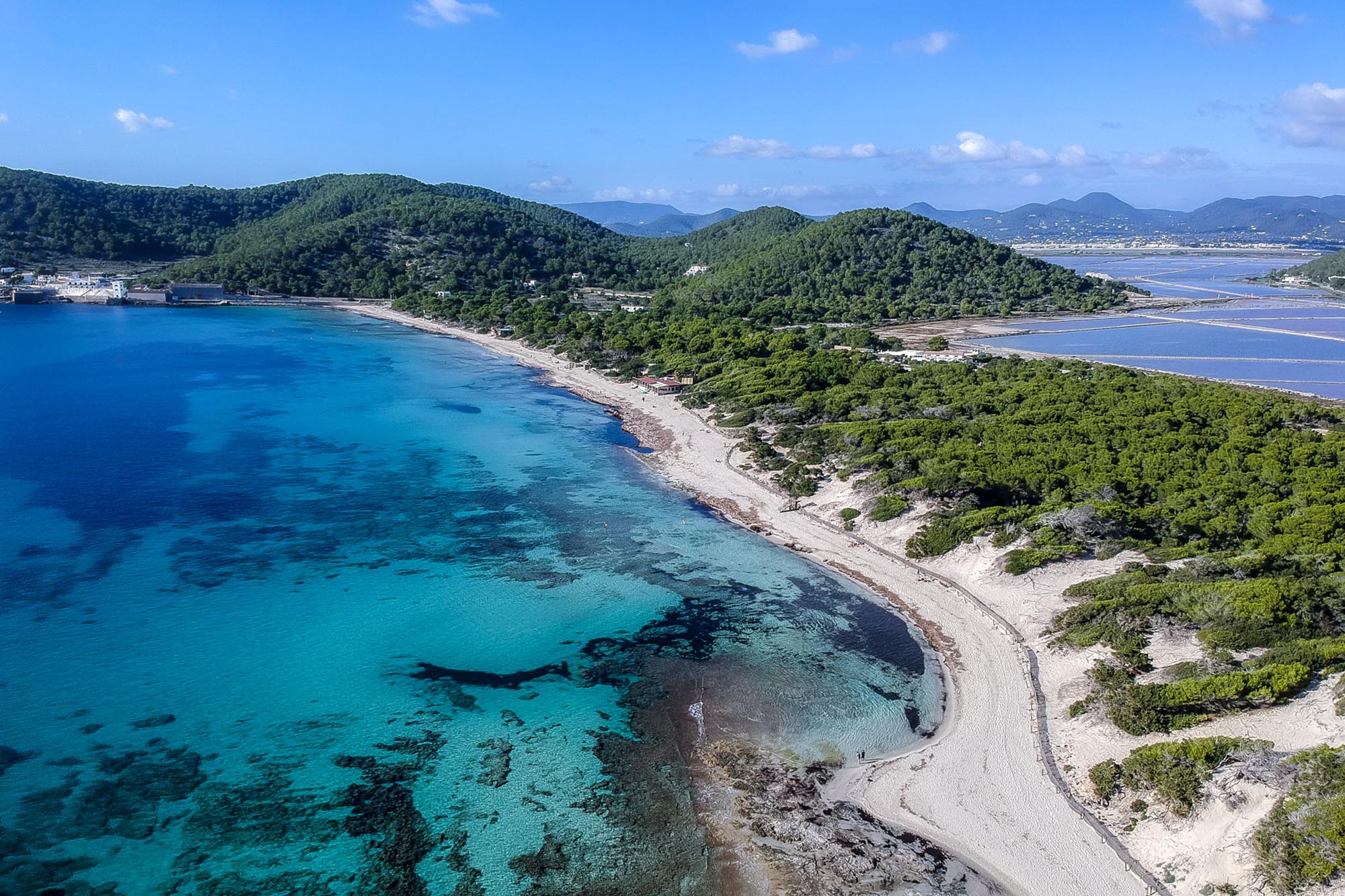
Continuing along the route, we can make a small detour to the left to discover the Pou des Carbó, which was first dated 1765 and which supplied water to the railway boilers. Returning to the route, you will reach the popular beach of Ses Salines, a beautiful sandy area whose last stretch turns into small, secluded coves carved out of the sea by the effect of the wind and human activity. The most straight cuts correspond to the time when it was used as a quarry to supply stone for the construction of Ibiza's walls. If you do the route in summer, it is best to enjoy the shade of the path that runs through the forest that opens up behind the dunes on the beach. The paths converge and lead us to discover points of interest such as the Pouet de Sa Trinxa (a sea well used to supply fresh water to the labourers).
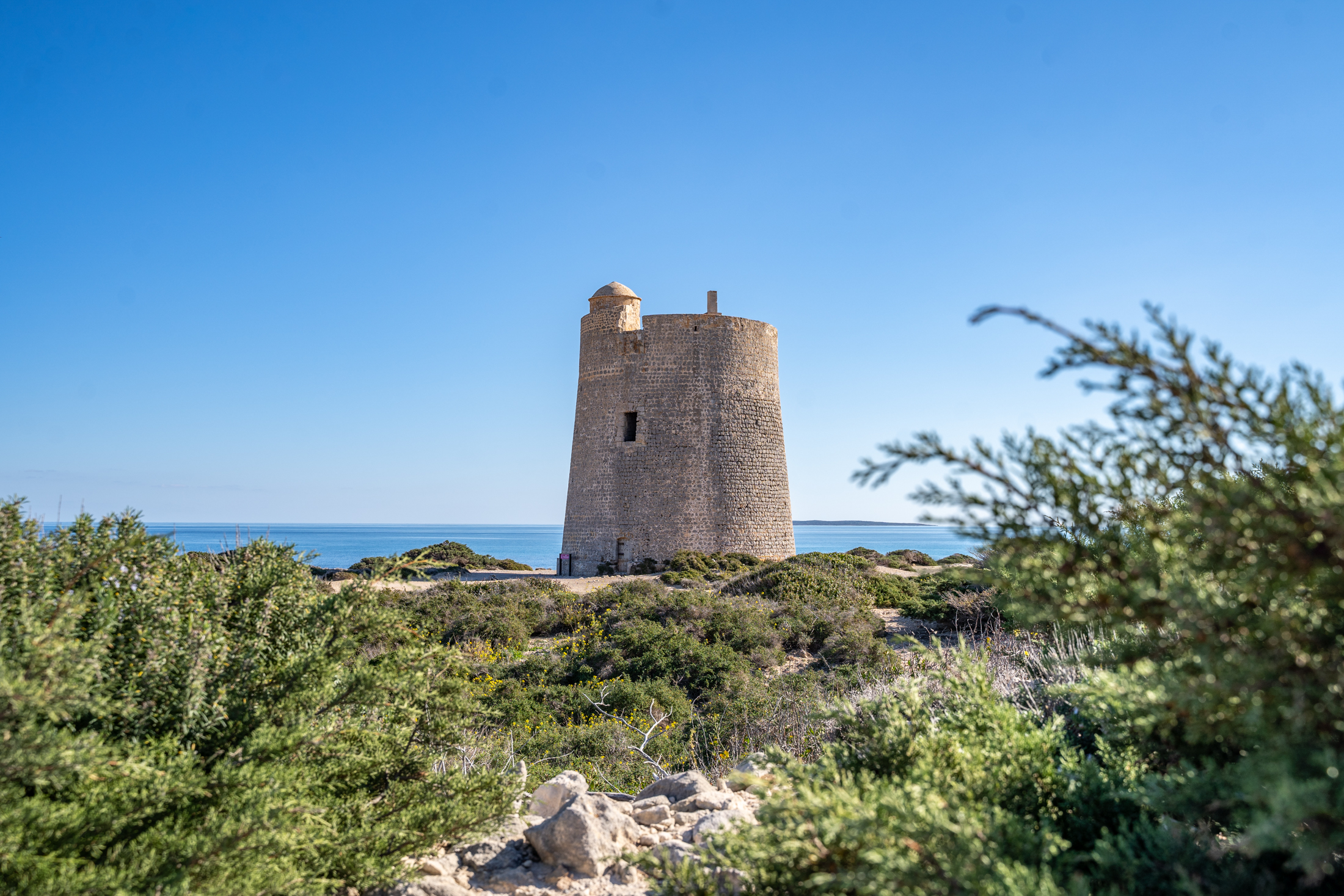
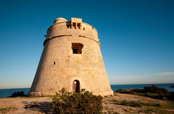
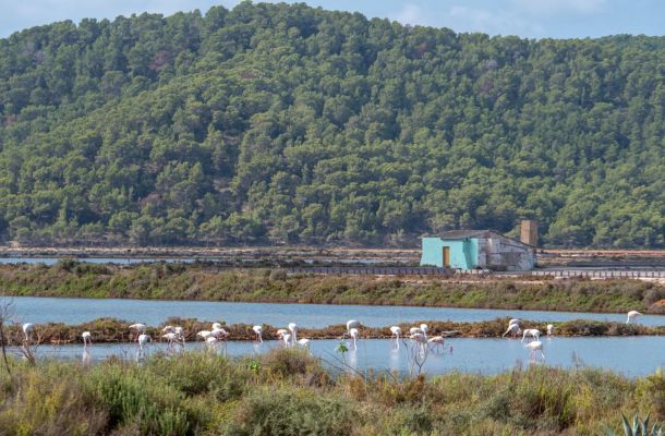
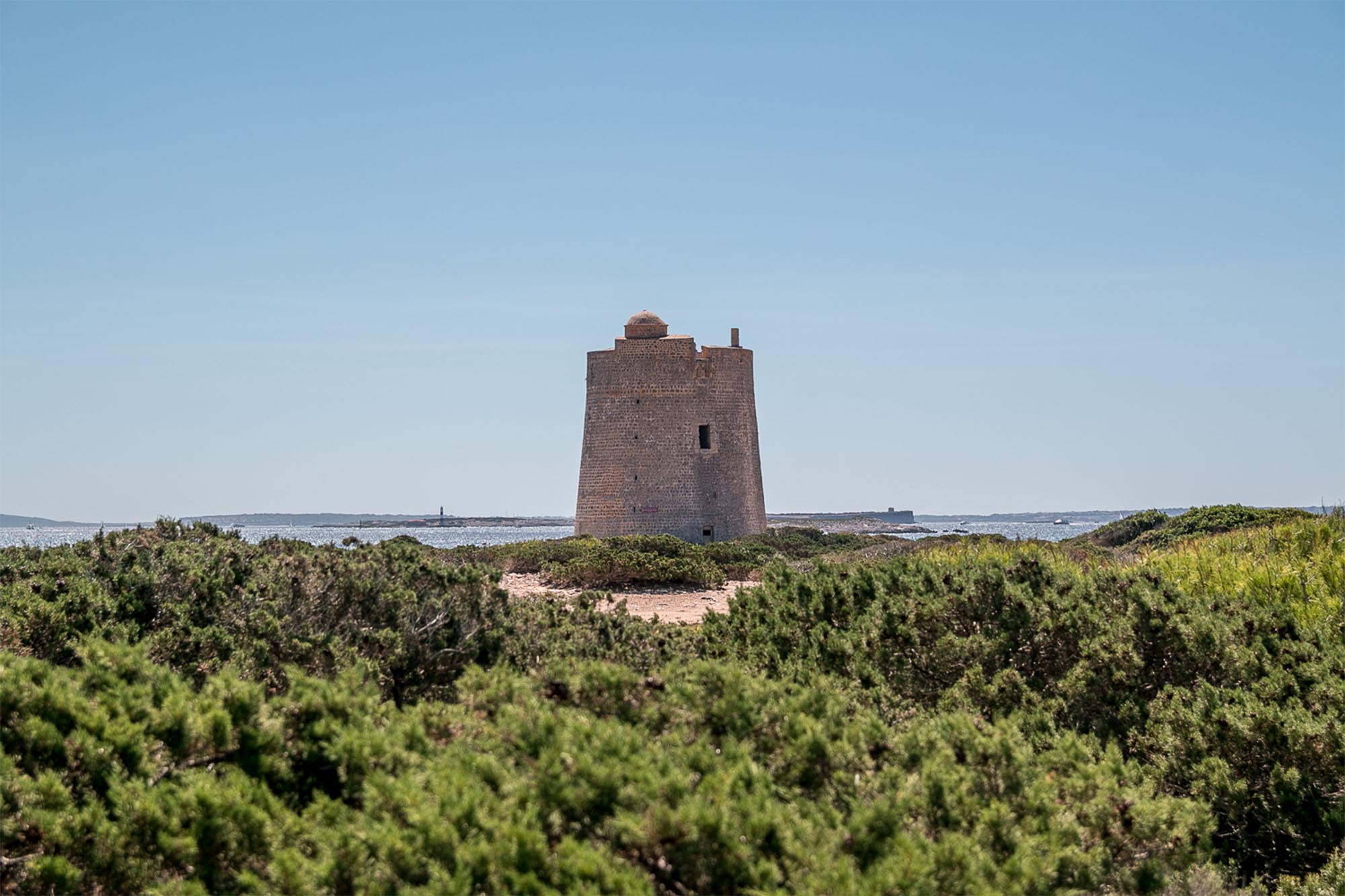
At this point, if you wish, you can take a shortcut and head north, towards the salt ponds that open up behind an extensive juniper grove and lead you to Punta de Es Cavallet, the end of your route. If, on the other hand, we choose to continue along the seafront of Ses Salines beach, we will end up at the Ses Portes watchtower, a critically important enclave that was erected in the 17th century to control the passage of boats in the maritime channel between Ibiza and Formentera. From there the coast makes a turn of almost 180º and curves northwards. Es Cavallet beach opens up on this side, with a magnificent white sandy beach facing east, where you can see extensive meadows of posidonia on the seabed. This underwater plant, possibly one of the longest-living organisms on the planet, is responsible for the transparency of the waters due to its extremely high filtering and oxygenation capacity.
The route ends at the tip of Es Cavallet, at what is known as the Levante wharf, which was another salt loading dock. On the way back to the road that runs alongside the ponds, you will come across a small group of salt-producing houses and a small chapel, the Capella de la Revista, built in the 18th century to provide a religious service to the workers in the area
More info: here
